Eastern North America is still caught in extreme weather conditions, with more than 50 centimetres of snowfall, 170 km/h winds and near-record street flooding in some regions.
In Hull, Mass., resident, Jen Olivieri was trapped in her home by freezing floodwaters. Firefighters were forced to get creative.
Here's a video from The Weather Network showing firefighters rescuing Olivieri with a front loader.
The day before, the freezing flood waters were already trapping vehicles in the streets of Hull.
According to the National Oceanic and Atmosphere Administration (NOAA), the bomb cyclone is heading out to sea and residents are now dealing with the frigid, Arctic air mass.
Freeze flooding, strong winds and dangerous driving conditions continue to be an issue in the eastern U.S. and Canada.
In Atlantic Canada, Nova Scotia Power crews worked through the storm overnight and restored power to 246,000 customers by 4 p.m. AST today.
So far, Bathhurst, N.B. has seen 58 cm and it was still snowing this morning.
Meanwhile, Toronto had its coldest Jan. 5 since 1959. On Friday morning, Toronto-Pearson recorded a temperature of -23 C, wind chill not included.
The conditions caused Lake Ontario to freeze, leaving a police boat trapped in the ice.
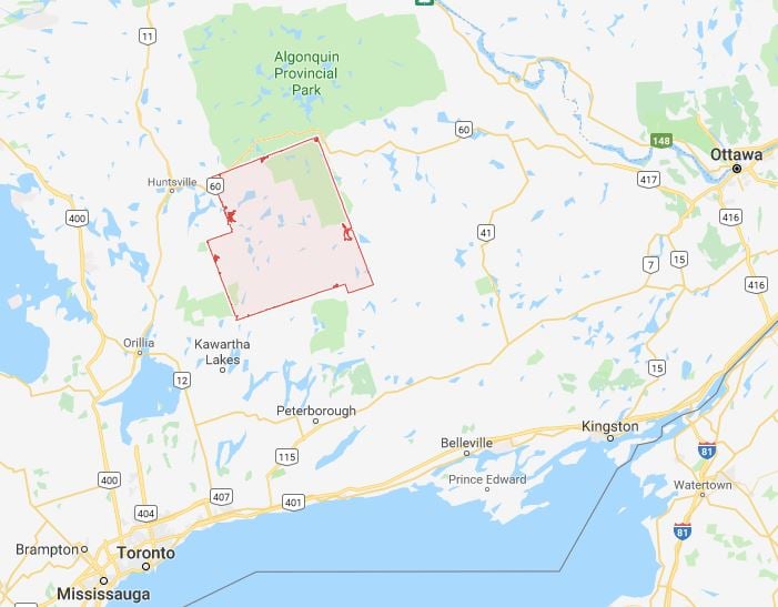
Residents of Haliburton, Ont., Steve and Helen Brown, said it was -30 degress Celsius this morning, -46 C with the wind chill.
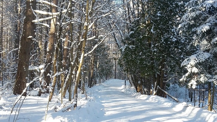
Yesterday Helen said she tried to go for a walk but didn't get too far before turning back. They're using plenty of wood to keep the house warm.
Their neighbours' down the road weren't so lucky overnight as their water line froze.
According to Environment Canada, this prolonged period of cold wind chills is expected to continue, dropping overnight from -35 C to -42 C.
EC reminds residents in eastern Canada, bundle up, avoid staying outside and check on your neighbours.


